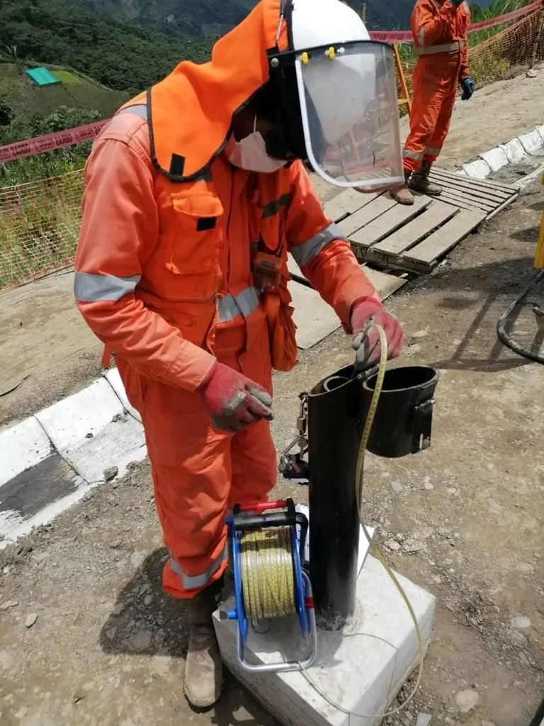
On Vancouver Island, the glacial and marine sediment sequences beneath Victoria BC rarely reveal their secrets through standard boreholes alone. We often arrive at sites near the Inner Harbour or out toward Langford where thin sand layers control drainage but are nearly impossible to sample intact. That is where the cone penetration test earns its place as a primary investigation tool. A single CPT sounding in Victoria BC can map stratigraphy at centimeter-scale resolution, recording tip resistance, sleeve friction, and pore pressure simultaneously. For engineers designing deep foundations or assessing seismic vulnerability, this continuous profile eliminates the guesswork that spaced sampling introduces. When site access permits, combining CPT data with seismic refraction helps tie the soil behavior to bedrock depth, which varies sharply across the region from the granite outcrops of Saanich to the deep sediment-filled basins near Esquimalt.
A CPT log in Victoria BC captures 500 data points per meter: that is the difference between guessing at a thin silt seam and knowing exactly where it sits.