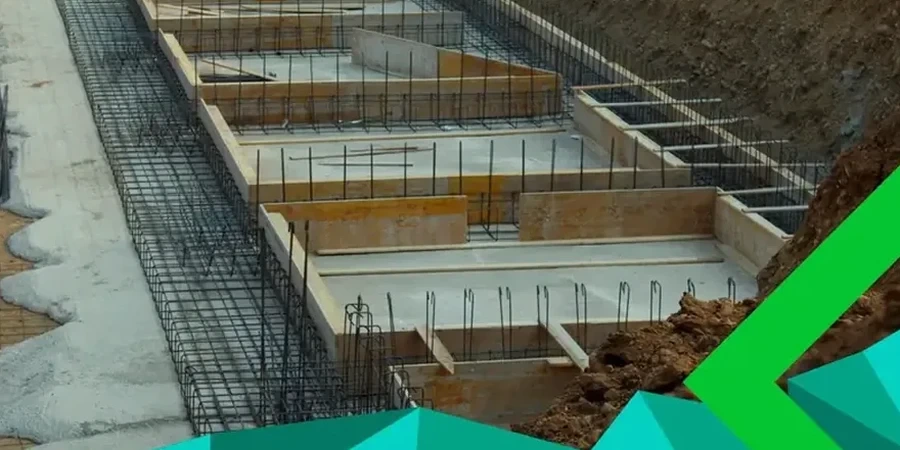
Victoria’s urban grid didn’t just grow — it was carved into the glacially scoured bedrock and marine clay that define the southern tip of Vancouver Island. That history matters for anyone building here: the city sits within one of Canada’s highest seismic hazard zones, and the contrast between stiff till, soft deltaic deposits, and shallow bedrock can shift dramatically across a single lot. We run MASW / VS30 surveys that map shear wave velocity profiles to 30 metres depth, giving you the NBCC seismic site class your structural engineer needs — without drilling boreholes at every corner. When the site layout demands deeper verification, we pair the surface wave data with SPT drilling to tie dynamic properties to physical samples, or use seismic refraction where a sharp bedrock interface needs higher resolution.
VS30 isn’t just a number for the permit checklist — it determines the seismic base shear your structure must resist by code.