GEOTECHNICALENGINEERING
VICTORIA BC
HomeUnderground ExcavationsGeotechnical excavation monitoring

Geotechnical Excavation Monitoring in Victoria BC

Technical studies that support your project.

LEARN MORE

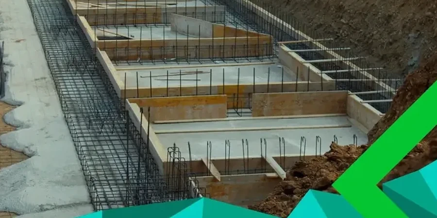
Victoria sits on a complex mix of glacial till, marine clay, and fractured bedrock, shaped by the Cordilleran ice sheet. The city sees over 600 mm of rain annually, which keeps groundwater levels high from October through April. Deep excavations here, especially within the downtown core, intersect these saturated layers quickly. Shoring designs that look solid on paper can behave differently once the first three meters are open. We deploy inclinometers, piezometers, and load cells to track what the ground actually does. This data feeds directly into the observational method, letting the site team adjust bracing or dewatering before small movements become problems. For projects near the Inner Harbour, where tide fluctuations add another variable, combining our monitoring program with a deep excavations assessment early in the design phase prevents surprises during bulk digging.

A single inclinometer reading is a data point; the trend over 48 hours is the decision tool.

Our service areas

Methodology and scope

A common mistake we see on Vancouver Island jobsites is treating monitoring as a checkbox—install the instruments, take a reading, file the report. That approach misses the point. Effective monitoring reads the trend, not just the number. A 2 mm displacement in marine clay over 24 hours means something very different than the same movement in till. Our team sets trigger thresholds tied directly to the geotechnical model, not generic limits. When inclinometer casings are drilled into the bedrock behind a soldier pile wall, they become the project's early warning system. We often pair this instrumentation with slope stability analysis when the excavation is adjacent to an existing slope or heritage structure, which is typical in neighborhoods like Fairfield or James Bay.
Geotechnical Excavation Monitoring in Victoria BC
Technical reference — Victoria BC

Local geotechnical context

A 6-level parkade excavation on Yates Street hit an unmapped sand lens at 8 m depth. The piezometer reading jumped 1.8 m in six hours, and the adjacent shoring wall started showing 4 mm of incremental deflection. Without real-time monitoring, the crew would have continued digging blind. We flagged the exceedance immediately, the contractor paused excavation and installed additional well points, and the wall stabilized within 12 hours. That scenario repeats across Victoria where glacial stratigraphy changes abruptly over short distances. Monitoring is not just about protecting the excavation—it is about protecting the 100-year-old brick building next door and the public sidewalk above.

Need a geotechnical assessment?

Reply within 24h.

Email: [email protected]

Regulatory framework

NBCC 2020 Part 4 structural design provisions, CSA A23.3:19 Design of Concrete Structures, ASTM D6230-21e1 Standard Practice for Monitoring Well Installation, CSA S832-14 Guideline for seismic risk reduction of operational and functional components of buildings

Typical values

ParameterTypical value
Inclinometer accuracy±0.25 mm/m
Piezometer range0 to 350 kPa
Load cell capacityUp to 2,000 kN
Data logging interval15 min to 24 hrs
Typical monitoring duration3 to 18 months
Reporting frequencyDaily to weekly
Trigger alert methodSMS/Email within 1 hr

Questions and answers

What does a geotechnical excavation monitoring program typically cost in Victoria?

Cost depends on excavation depth, number of instruments, and monitoring duration. For a typical mid-rise excavation in Victoria lasting 4 to 6 months with inclinometers, piezometers, and survey monitoring, budgets usually range from CA$1,050 to CA$3,260 per month of active monitoring. A site-specific proposal is always prepared after reviewing the shoring design and geotechnical baseline report.

When is excavation monitoring required under the BC Building Code?

The NBCC 2020 and the City of Victoria's bylaws require monitoring when an excavation exceeds 1.2 m in depth and is adjacent to a public right-of-way or existing structure, or when the shoring design relies on the observational method. The professional engineer of record determines the specific instrumentation and frequency.

How quickly can you respond if an instrument shows excessive movement?

Our automated system sends alerts within one hour of a threshold exceedance. The responsible engineer reviews the data immediately and contacts the site superintendent by phone. If the situation warrants, we are on site within two hours to verify readings and assist with contingency measures.

Can you monitor existing buildings next to our excavation?

Yes, this is standard practice. We install optical prisms on the facade, crack meters across existing fractures, and tiltmeters on structural columns. A pre-construction condition survey documents the baseline state, and weekly reports compare movement against the threshold values defined in the shoring engineer's deformation criteria.

Location and service area

We serve projects in Victoria BC and surrounding areas.

View larger map