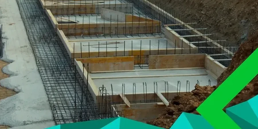
An excavation crew working near the Inner Harbour recently hit a pocket of marine clay at just four meters depth—right where a five-story mixed-use building was planned. That kind of surprise reshapes foundation budgets overnight. In Victoria, where the geological map shifts from glacial till to soft estuarine deposits within a single city block, relying on desktop assumptions is a gamble. The SPT (Standard Penetration Test) is our primary tool for quantifying that variability: we drive a split-spoon sampler 450 mm into the borehole, count the blows for each 150 mm increment, and turn those numbers into a direct measure of relative density and consistency. Working under CSA A23.3 and the NBCC, our lab processes every sample through standardized logging, moisture content determination, and grain-size distribution checks. When the N-value drops below 4 in zones near the Gorge Waterway, we flag it immediately for the geotechnical engineer—no delays, no sugar-coating. For deeper resistance profiling in dense till, we often pair SPT with CPT testing where continuous cone data helps refine stratigraphic boundaries that the split-spoon alone can miss.
Every blow count in Victoria tells a story about glacial history—ignore the low N-values, and you're designing on borrowed time.